

OHIO (WLIO) - The Ohio Department of Transportation will be testing an advanced drone that could help in emergencies.

The drones could be used to monitor traffic and for incident management. The test will be done on US 33 just west of Columbus. The drone has a 7-and-a-half-foot wingspan and is the first aircraft of its size to be approved for these types of operations. The drones will be tested in a four-mile stretch, which means beyond the line of sight of the pilot. If successful, ODOT will get real-time data to help identify congested areas, crashes, or other hazards and be miles away. ODOT has over one thousand traffic cameras around the state, and the drones could be used in areas that do not have cameras.

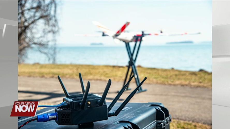
February 28, 2024 Press Release from ODOT: COLUMBUS – The Ohio Department of Transportation’s Uncrewed Aircraft Systems (UAS) Center recently received approval from the Federal Aviation Administration (FAA) to fly a large drone over a portion of the U.S. 33 corridor northwest of Columbus. This special permission was needed to operate an uncrewed aircraft beyond the pilot’s sight, typically referred to as beyond visual line of sight, or BVLOS, operations.

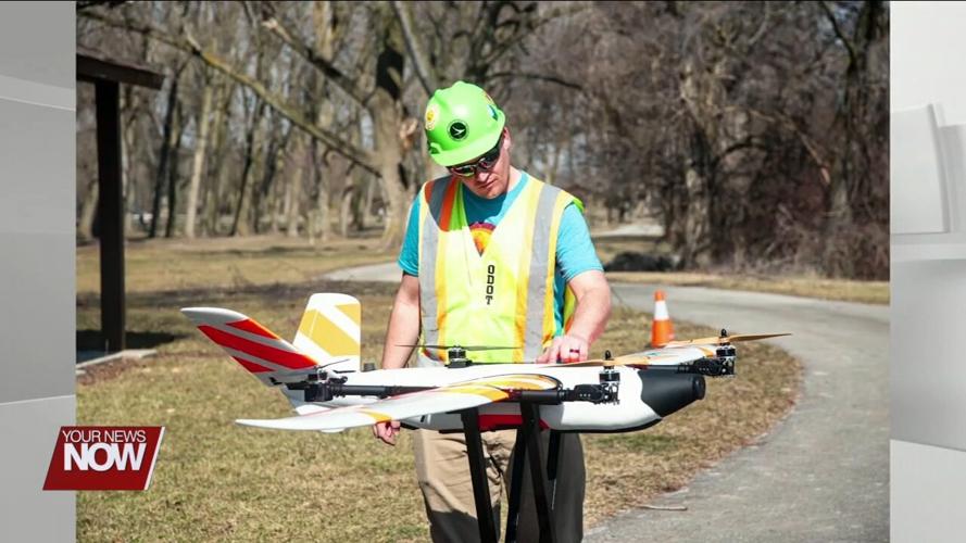
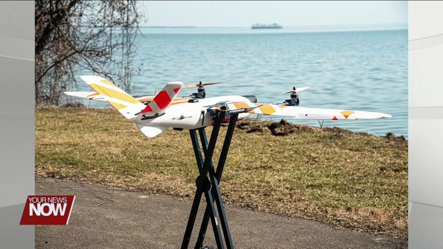
ODOT pilots will fly a 20-pound Censys Sentaero aircraft, which has a wingspan of 7.5 feet, along four miles of U.S. 33 between U.S. 42 and Watkins Road to test the capability of drone use for traffic monitoring and incident management. The on-board system to detect and avoid other aircraft with be supplemented with visual observers on the ground to keep eyes on the aircraft and bolster safety. This is the first aircraft of its size to be approved for this type of operation, and the second in the United States approved for operations over people and traffic without a parachute. Safety will remain paramount during this trial period.
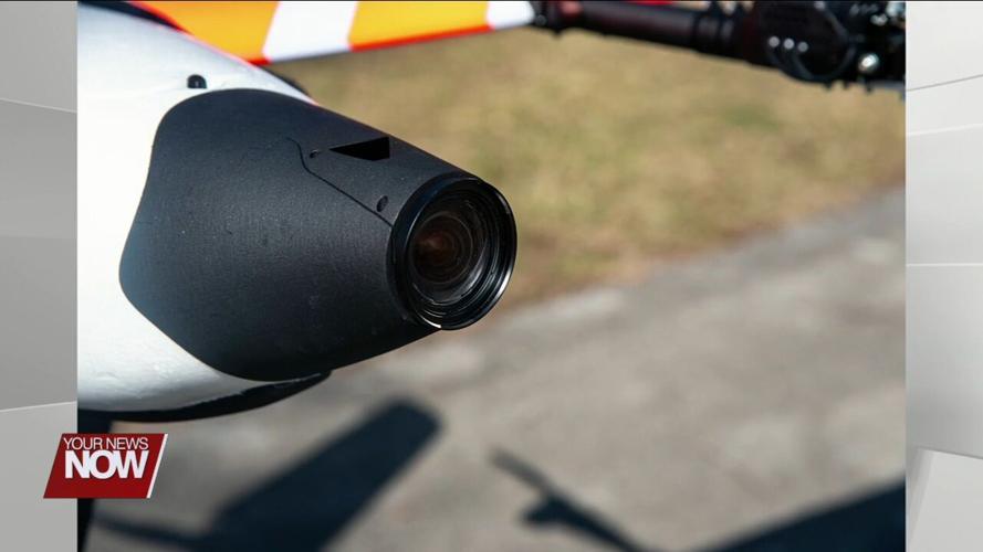
“Drones can do a lot of things. Depending on the aircraft, they can be equipped with object detection and analytics, which form a critical piece in improving safety on the roadway,” said UAS Center Director Rich Fox. “This is only the beginning. We’re excited to test the potential benefits and leverage this special approval to continue integrating new UAS technology into agency operations.”
While ODOT operates more than 1,000 stationary traffic cameras across the state, drones have the potential to provide visual coverage in areas without cameras in the event of an emergency. Deploying drones beyond the pilot’s line of sight could get real-time information to ODOT more quickly to help identify congested areas, crashes, or hazards on the road.
Similarly, equipping drones with sensors to detect radiation or other chemical toxins could provide vital safety information to emergency responders. Drones can also provide real-time video during search and rescue missions to help rescue teams cover a larger area more quickly through the air than on the ground.
This approval from the FAA is valid for four years and will help facilitate integration of live drone footage to ODOT’s Traffic Management Center, which could provide greater situational awareness to crews on the ground and improve traffic management. Ultimately, testing these types of operations along U.S. 33 will help determine the benefit of replicating this approach statewide to aid the public and first responders in emergency response and traffic monitoring, especially in rural areas.
Dates for these test flights have not yet been determined.
