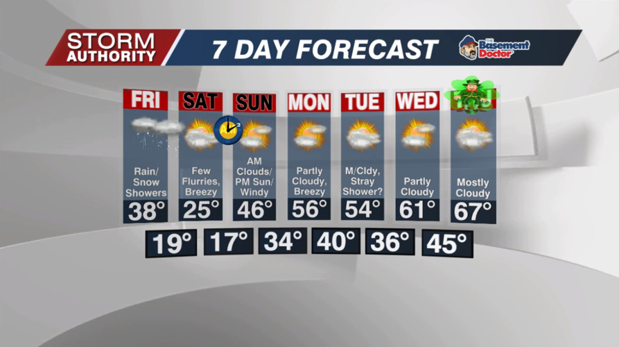

One more quiet day before changes arrive. Expect partly to mostly cloudy skies with very light winds. Highs today will reach the middle 40s.
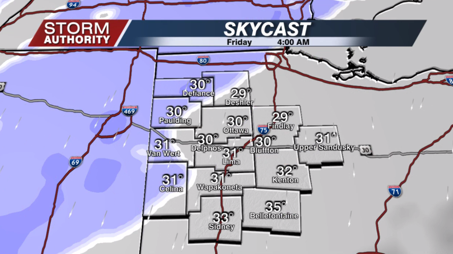
A risk of snow showers will arrive late tonight for areas generally north and west of Lima. These areas could see just enough for a few slick spots by Friday morning.

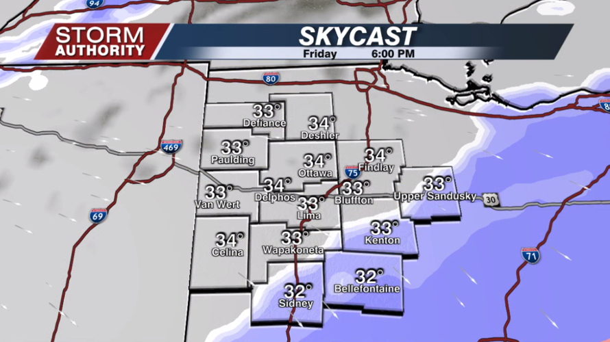
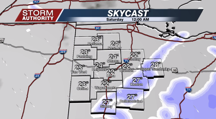
Friday, this wave of snow showers will work southeast and tend to fizzle for a time. During the afternoon, snow showers will reorganize mainly along and southeast of a Van Wert-Ottawa-Findlay line. Snow showers will continue in this area Friday evening, exiting southeast after midnight.


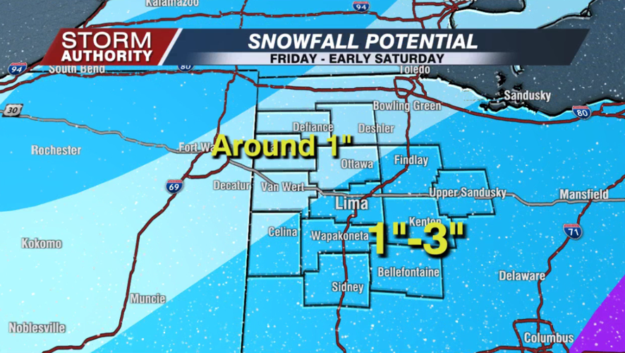
How much snow? The latest forecast has backed off some on amounts, trimming off a good inch from our outlook yesterday. As an average, around 1" is possible northwest of Lima. Areas from the Lima area and southeast are in play for 1 to 3". What will ultimately make or break this forecast is the speed of the front as it phases with a system to our south. That will determine how far north/west the secondary round of snow develops Friday afternoon and night. If that front really picks up pace, it could leave a gap over parts of our area. In other words, bust potential is there due to the nature of this system.

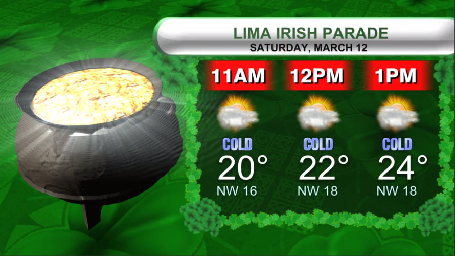
Saturday still looks bitterly cold with a few flurries around. Temperatures will hover in the lower 20s when the Lima Irish Parade kicks off, but wind chills will be closer to 5 to 10°.

Not a fan of the cold? No worries, it leaves us quickly! A spring-like weather pattern is expected next week with highs in the 50s and 60s.


