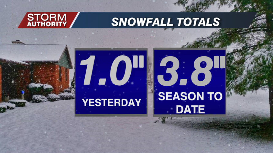

Monday's clipper system dropped 1" of snowfall in Lima, pushing our season total to 3.8". Normally, we would have over 16" by this point in the winter! That said, it only takes a few big storms to radically change things.

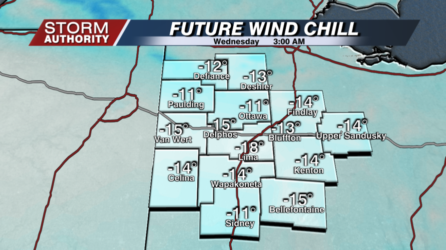
The story moving forward is bitter cold. Wind chill values will reach dangerous levels at times from now through the weekend. A wind chill advisory has been issued for areas south of Lima tonight. We are expecting wind chill values around -15° area-wide to start our Wednesday!

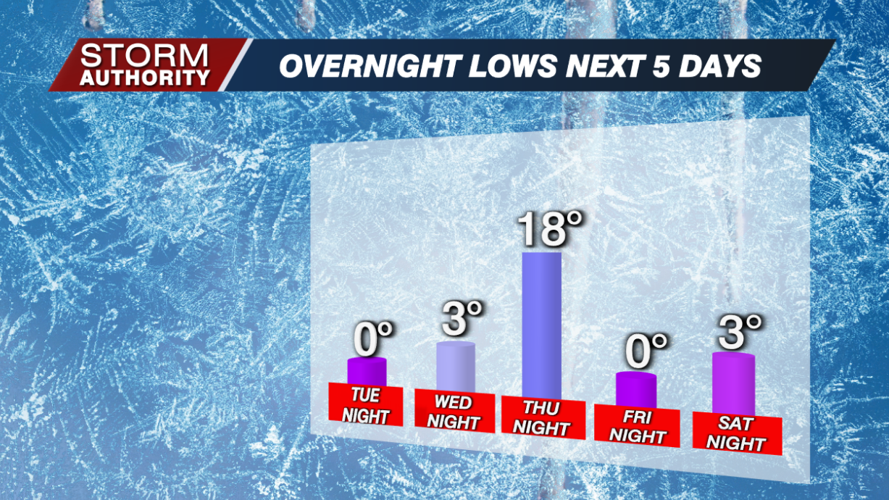
Overnight lows will be close to 0° on multiple nights between tonight and Saturday night, with briefly warmer air Thursday night due to clouds and snow showers ahead of another arctic front.

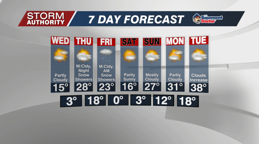
The 7 day forecast shows the only threat of precipitation is Thursday night through Friday, and it looks minor. Models generally show less than 1", but that could create slick roads for Friday morning. Our first day above freezing doesn't arrive until next Tuesday. A big shake-up in the weather pattern could bring a big thaw and rain to the area later next week.


