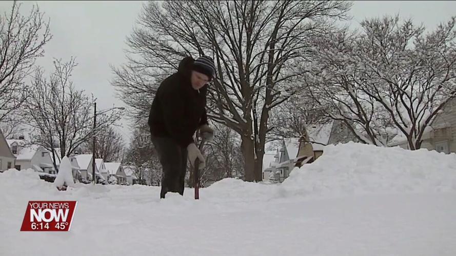


LIMA, OH (WLIO) - We are nearing the end of the fall season in west-central Ohio, and that means winter is upon us!

According to NOAA's updated winter outlook issued on November 16th, there is a 40% to 50% chance of above-normal temperatures with a 33% to 50% chance of below-normal precipitation for west-central Ohio.
To explain the science behind this forecast, I talked with Lonnie Fisher, Meteorologist at the National Weather Service in Northern Indiana, about the atmospheric and environmental contributors.

"We are in a El Niño. Some of the patterns suggest that we're in, what's kind of referred to as, a strong El Niño. When we end up in this moderate/strong El Niño, it tends to end up, overall, a lot less active for us. You know, a lot of the southern jet stream is suppressed well to the south, kind of keeps a lot of the moisture trapped down there. Therefore, we trend drier, and a lot of times, the polar air kind of stays trapped up in the north," says Lonnie Fisher, Meteorologist, National Weather Service Northern Indiana.
A big question everyone asks is "how much snow can we expect," but that question cannot be answered this far in advance as too many variables are in play.
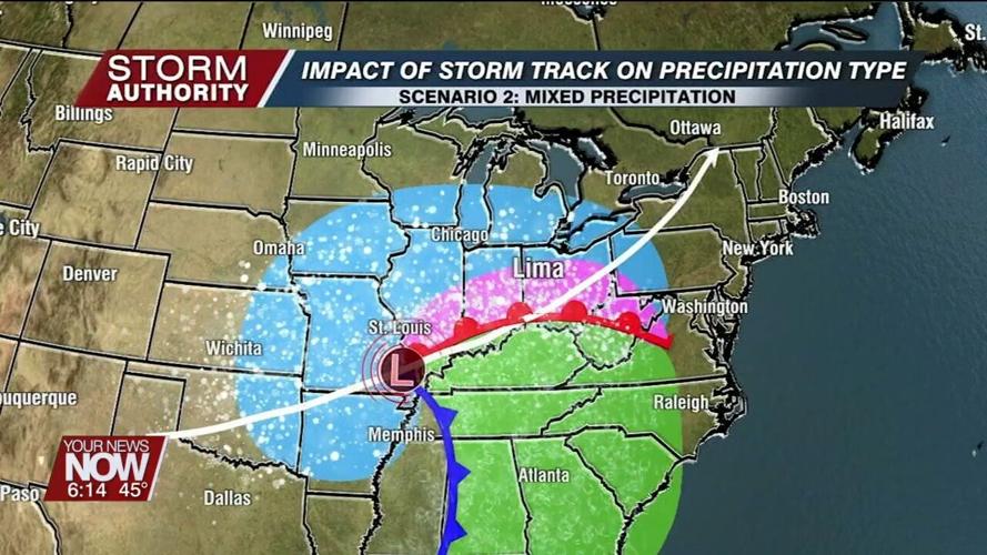
"There's so many variables that tend to play in on exactly, you know, how much snow we can get. Meteorologists... obviously, we've noticed, we see it all the time, that just a slight deviation in the track from the slightest thing can completely upend a forecast," adds Fisher.
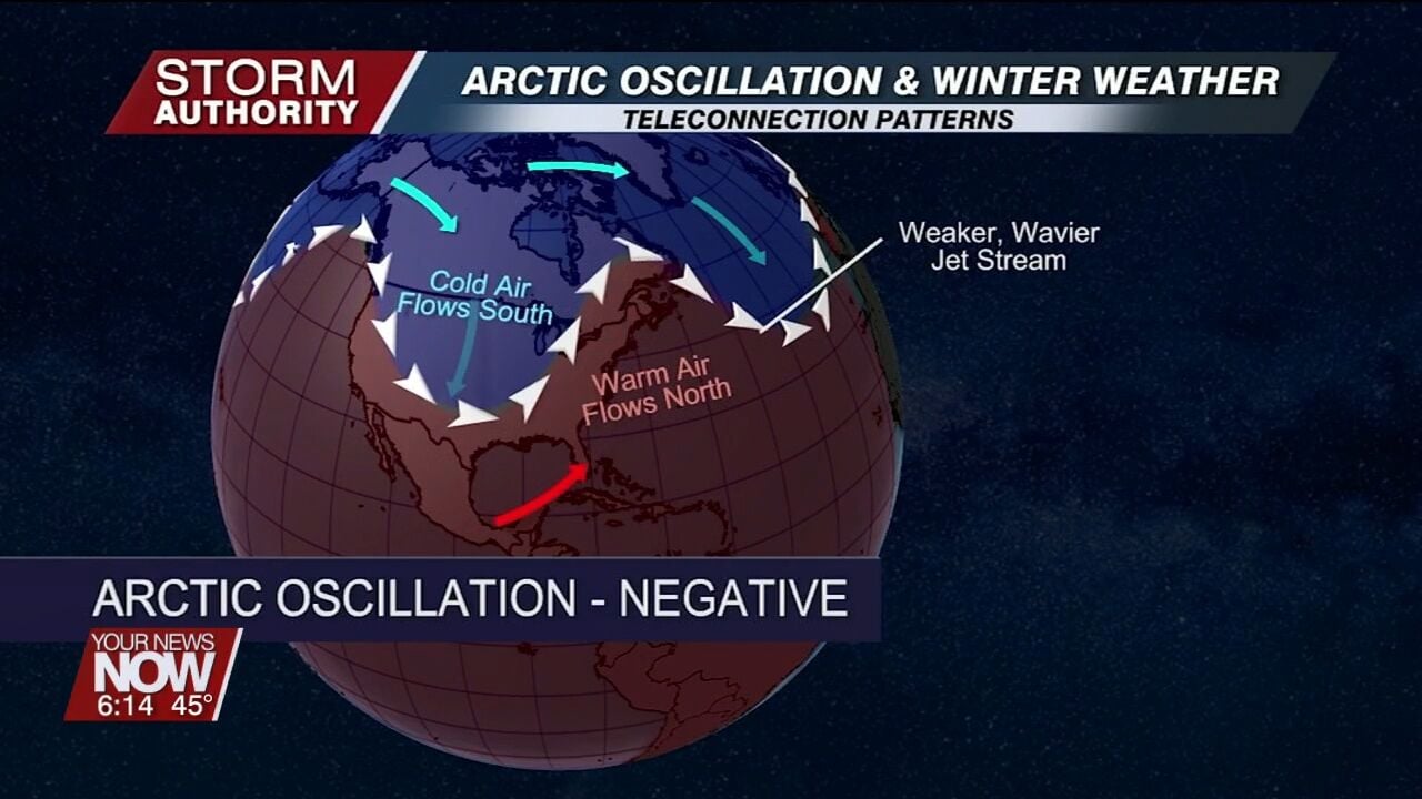
Despite an ongoing El Niño, there are many other factors such as the arctic oscillation teleconnection pattern and other blocking patterns, that could throw forecast wild cards.
"The teleconnections: they're much more variable. There's more factors that are involved that they can switch more dramatically, and they are very hard to predict," Fisher explains.
Regardless of winter's outcome, make sure you are winter weather ready.


