

LIMA, OH (WLIO) - With the rise of social media weather pages, there is a trend toward unreliable weather forecasts becoming viral. Meteorologist Nathan Kitchens shows us why we should think twice before sharing.

With the busy holiday travel week upon us, chances are you will be paying extra attention to the weather forecast.
When scrolling through your social media feeds, chances are you've come across a snowpocalyptic map of enormous snowfall being predicted a week or more into the future. These maps often go viral because they show something to grab your attention. These maps are often posted by someone with little knowledge in atmospheric science as clickbait to gain followers.

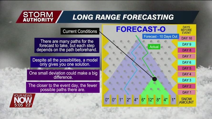
A weather model predicts the future by taking information about the current state of the atmosphere. The model then takes that information and runs through calculations on assumptions of how the atmosphere behaves. A model is not perfect and there will be tiny errors as it initializes. Those tiny errors magnify over time to become much larger the further out in time. This makes the forecast less accurate. The closer we get to a weather event, we narrow down the possible outcomes and have a much more reliable forecast. Remember that one snowfall forecast shared on social media is only one of many possible outcomes for a storm that hasn't even developed yet.
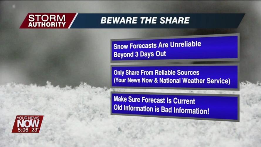
Bottom-line, predicting snow amounts becomes unreliable beyond three days out. Before you share information, confirm that the source is reliable, such as your news now or the national weather service. Remember that old information is bad information! Make sure the content is up to date.
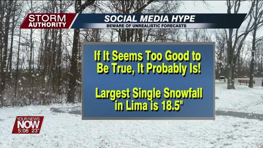
If it seems too good to be true it probably is, and the same applies to the weather. For perspective, our largest single snowfall on record is under 20". Any forecast showing several feet of snow for our area is more laughable than anything else. The next time you see an outlandish forecast on social media, remember to beware of the share.


