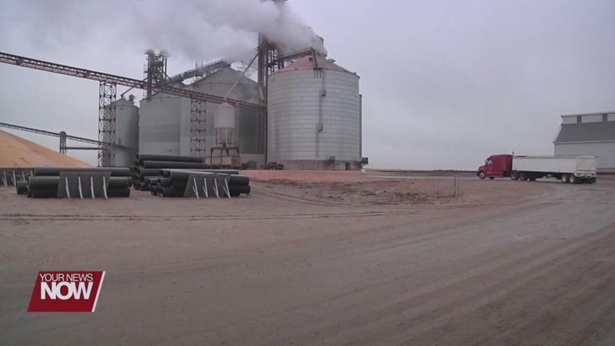


Area farmers are seeing a bumper crop thanks to timely rains throughout the summer. Meteorologist Nathan Kitchens has a look at the crop conditions and what to expect heading into harvest.

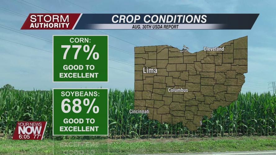
The state of Ohio is on track to see its highest crop yields since the record-setting year of 2018. The latest USDA report indicates more than three-quarters of the state's corn crop is rated good to excellent, up from 45% at the same time last year.

"The eastern corn and soybean belts had pretty good rainfall. We had periods of dry weather in there, but we had timely rain, and we did not have really, really high temperatures overall," said Jim Noel, NWS Hydrologist.

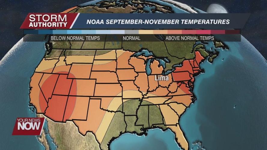
Lima's temperatures ended up roughly 2° above normal this summer, largely due to unusually warm nights. Low temperatures averaged warmer than any summer in the record books at the Allen County Airport. Rainfall was slightly above normal, with Lima receiving double the amount of rain recorded last summer.

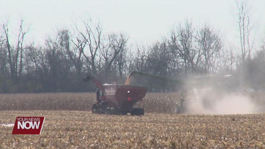
With roughly a month before our first frost, area farmers are looking toward what to expect during harvest.
"I think conditions look relatively favorable. There will probably be a few bumps along the road, but it may be a lot like last year," added Jim Noel.
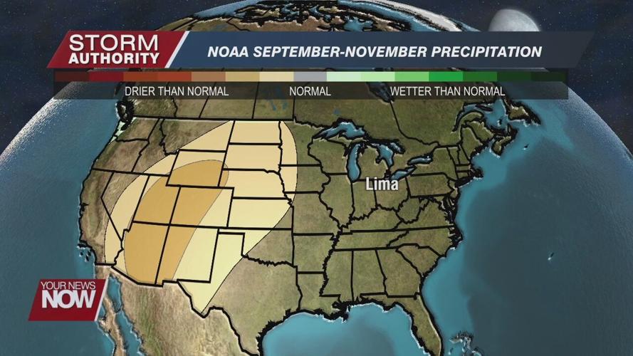
Precipitation is always the wildcard, but hydrologist Jim Noel says there are no strong indications of a wet fall.
"Most early indications are it shouldn't be too wet. The one fly always in the ointment is return flow around the Bermuda high pressure which can bring tropical moisture up into the Ohio valley in the months of October and even early November," said Jim Noel.
Noel also adds that a weak La Nina may develop later this fall, which can lead to a wetter winter. The La Nina is forecast to remain weak, meaning confidence toward winter is low. For now, let's look forward to a normal fall season.


