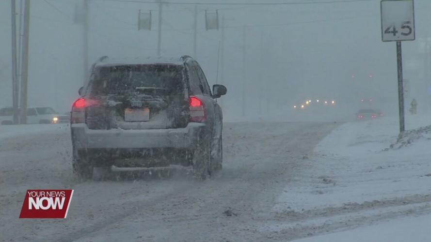


For the second year in a row, a climate pattern known as "La Niña" has returned and is expected to continue for the upcoming winter.

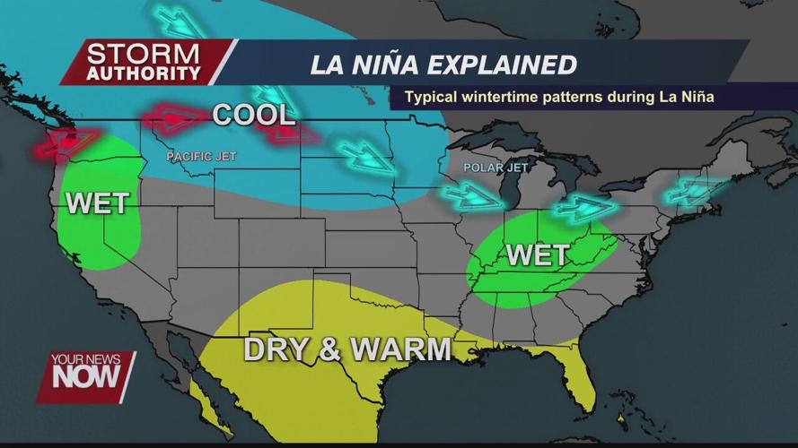
The oceans play a major role in weather as nearly three-fourths of our planet is covered with water. Long-range forecasts in the winter are strongly influenced by the state of ocean temperatures in the Pacific Ocean near the equator. Warmer than normal ocean temperatures represent an El Niño, while colder waters indicate a La Nina pattern. The stronger the anomalies, the more it impacts the weather. The ocean temperatures are strongly influenced by the trade wind patterns in this area.

Normally, trade winds blow westward from South America to Asia. This year, those trade winds are even stronger than normal, causing upwelling of colder waters and La Nina conditions. This has implications on the jet stream pattern, affecting temperature and precipitation trends around the globe.

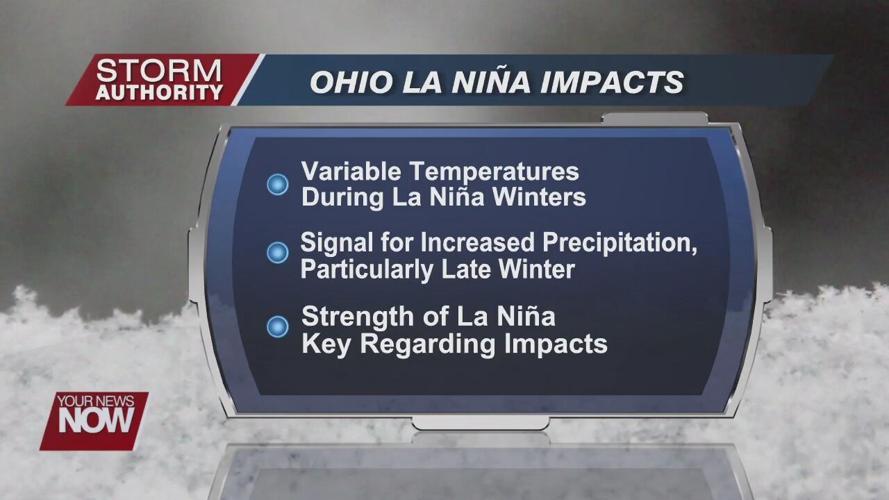
What we typically see in the La Niña years is colder than normal temperatures in the upper Midwest - Minnesota, Wisconsin, and then a warmer than normal through the Ohio/Tennessee valleys, and in the southeast United States. Northwest Ohio is right on the Northern fringe of the warmer than normal. What we typically see in a La Nina winter is a wetter than normal second half of the winter. We should have a better gauge of La Nina’s strength by late November.


