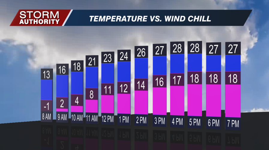
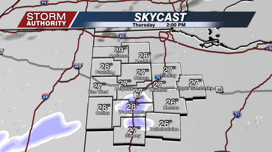

Another bitterly cold morning, but a slight warm-up is on tap today. After starting off in the single digits, highs will warm to the upper 20s. A weak disturbance will bring a few pockets of light snow for the afternoon. Some of this could also mix with drizzle. Not everyone will be impacted, but this could cause a few slick spots for afternoon travels.


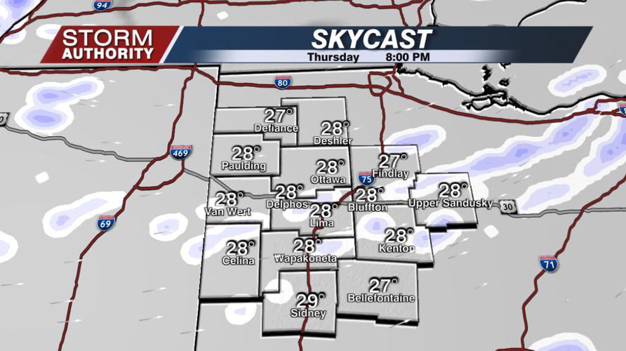
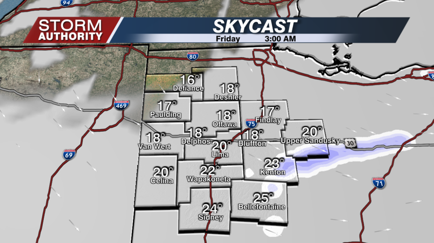
The risk of patchy flurries and drizzle will continue tonight, but the threat should move out during the predawn hours. Not a huge deal, but this could cause a few slick spots. Temperatures will drop into the lower teens by daybreak Friday.


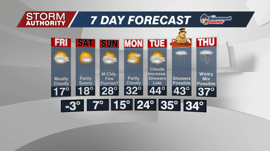
Friday now looks dry, but very cold with highs in the upper teens. Skies will be partly to mostly cloudy.
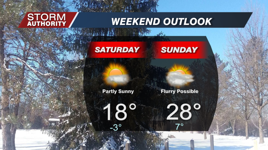
The weekend continues to look cold and rather quiet. Temperatures start off below zero Saturday, then warming a bit for Sunday. There are signals for a few flurries to sneak in Sunday, but this chance is looking weak.

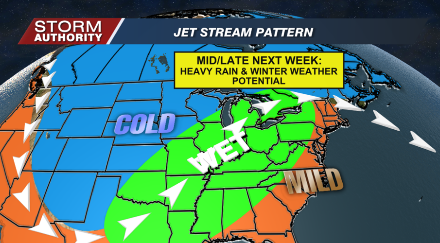
Next week is looking like a more active week. First comes a significant jump in temperatures. Highs still look to reach the 40s by Tuesday. The forecast confidence starts to drop significantly by Wednesday and Thursday. There is rather high confidence on precipitation impacting the area. Low confidence remains in the type(s) of precipitation with a wavy frontal boundary over the area. The current forecast calls for rain Wednesday, then potentially a mix of precipitation types on Thursday. This WILL change as we get closer. Just know that the forecast for next week bears more attention than recent weeks.





